Revealing Social Networks in Cities

Invisible Cities
Project Brief
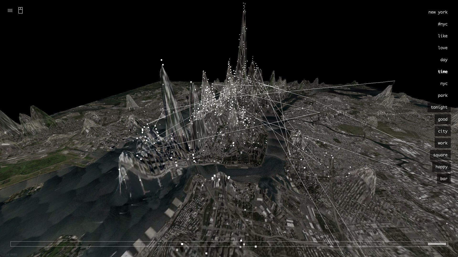
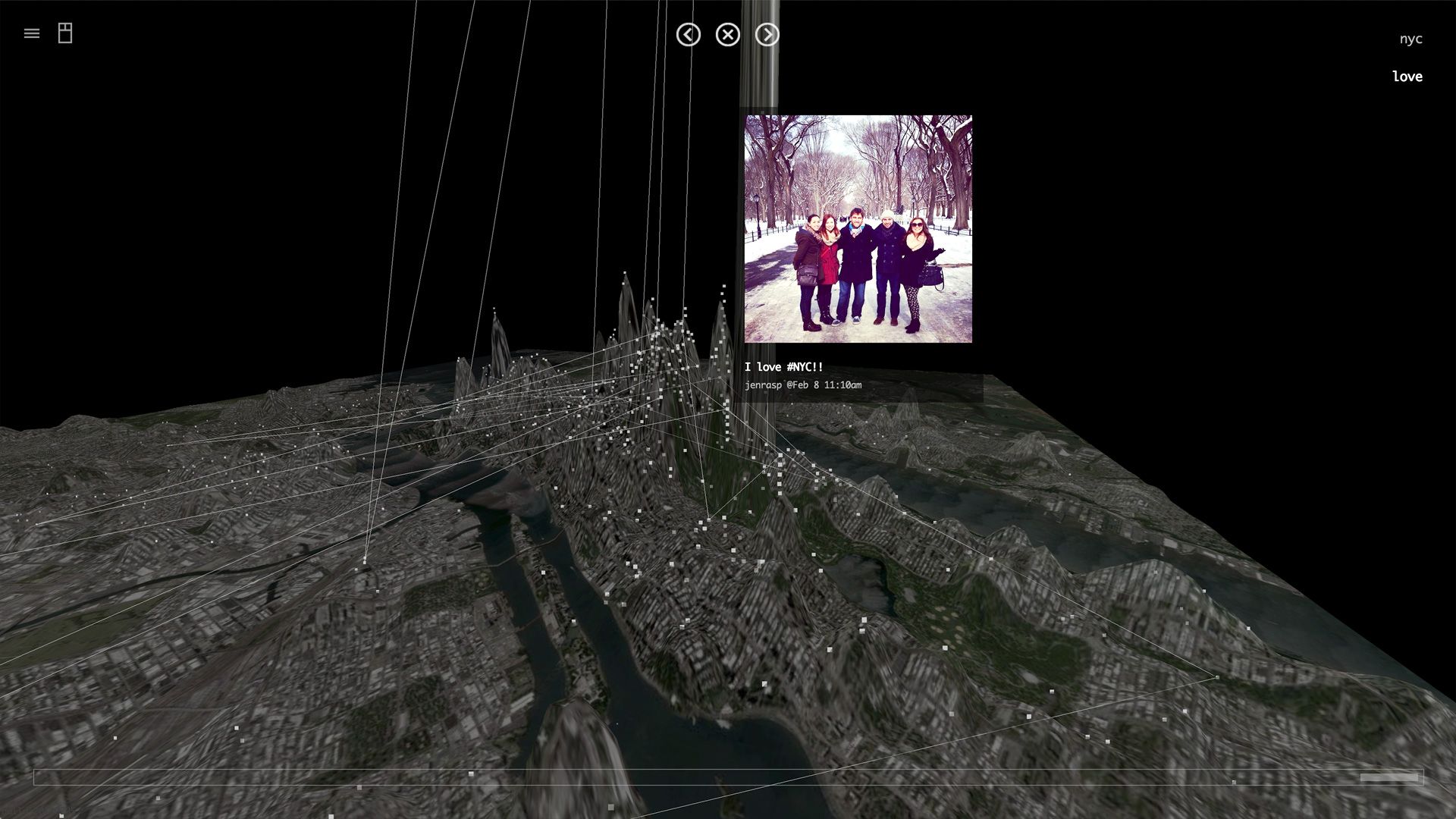
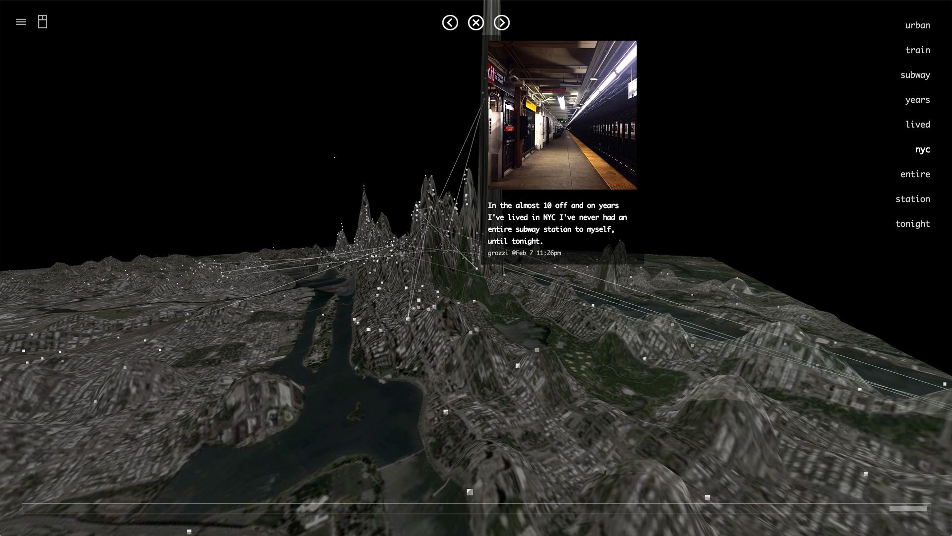
Invisible Cities reveals social networks in the urban environment. It displays geocoded activity from online services such as Twitter and Instagram in real-time and in aggregate. Real-time activity is represented as individual markers that appear whenever a Tweet or image is posted. Aggregate activity is reflected in the underlying terrain—the landscape warps as data is accrued, creating hills and valleys representing areas with high and low densities of data. Built to support the Leap Motion Controller, Invisible Cities allows users to navigate the three-dimensional data landscape through natural gestures.


